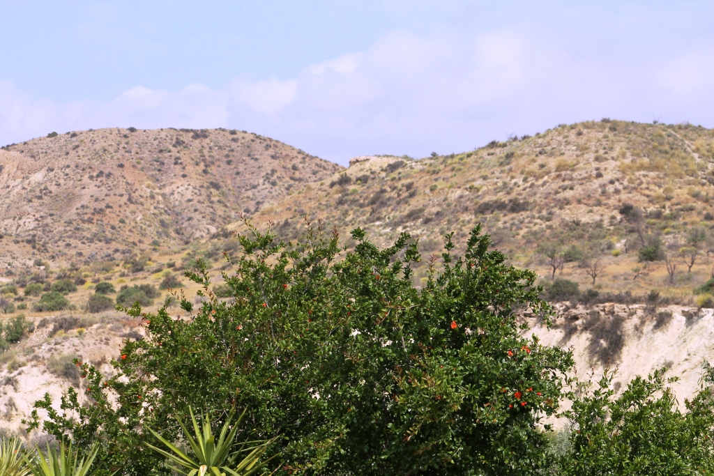
Los Carrascos (Images of bee-eaters and swifts)

LosCarr210413Last week, when we were out walking we noticed on a hill a round flat area that could have been man made tower foundations, we decided today, to walk up and find out.

LosCarr121043


LosCarr2210413Although we live close and we have walked many kilometres around here, we were mostly on unknown territory.


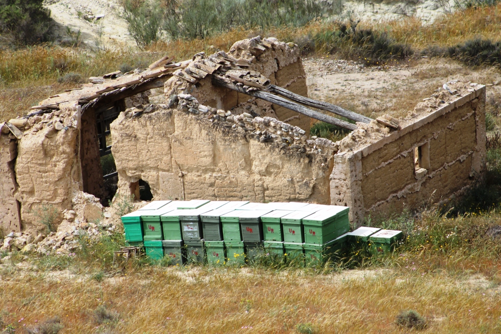
It was interesting to see this ruined cortijo, with, what looks like beehives stacked.LosCarr3210413


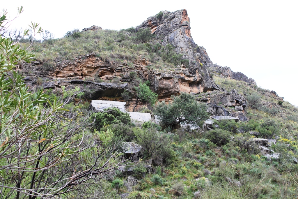
LosCarrJ210413As we climbed up, it was obvious that the promontory was natural, maybe the heavy rains last September had washed some of the soil away and made the overhang more noticeable.

LosCarr4210413

The vines are budding and leaves appearing.


The view towards the pueblo of Arboleas, it’s two bridges and tower.LosCarr5210413


LosCarr6210413


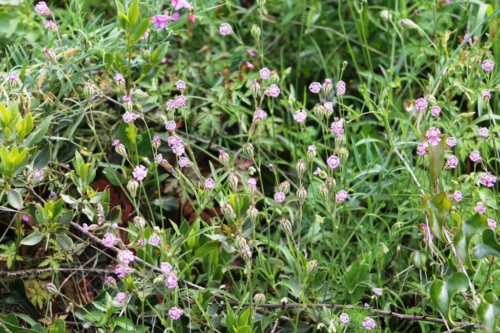
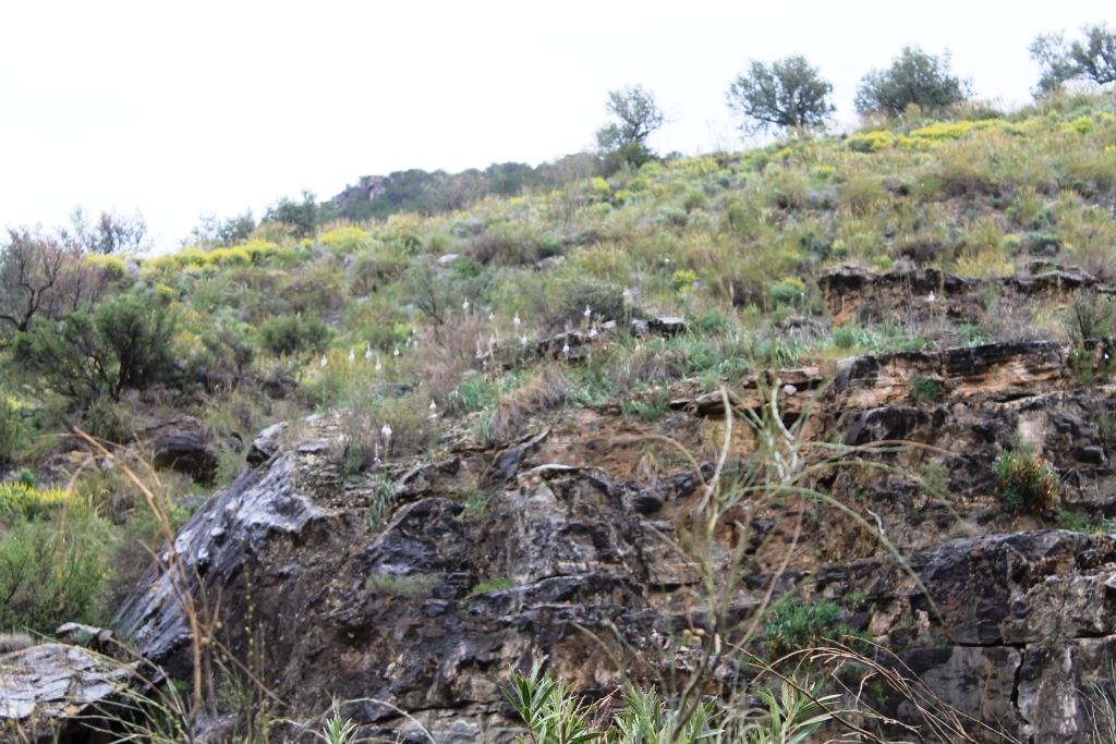
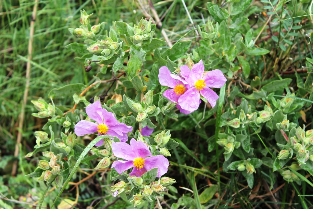
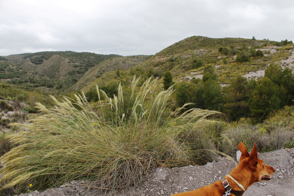
The hillsides were covered with wild flowers, I thought these grasses were very pretty and moved majestically in the breeze as we headed down to the bridge at Los Peraltas, swifts were soaring and swooping overhead.

LosCarr7210413


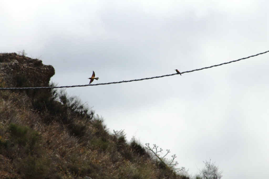
The arroyo damp in places, the verges still looking green, a favourite place for bee-eaters to nest nearby.

Cóbdar and Los Calesas

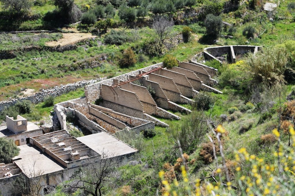
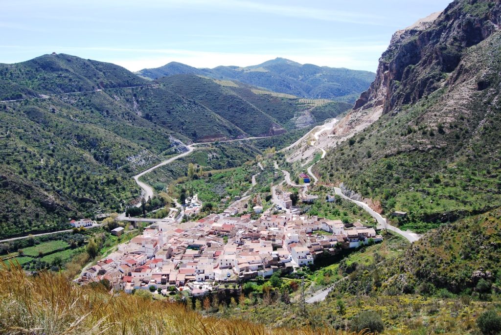
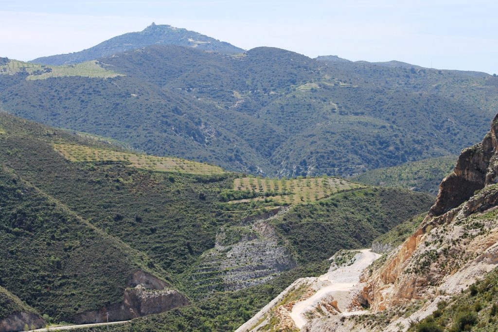
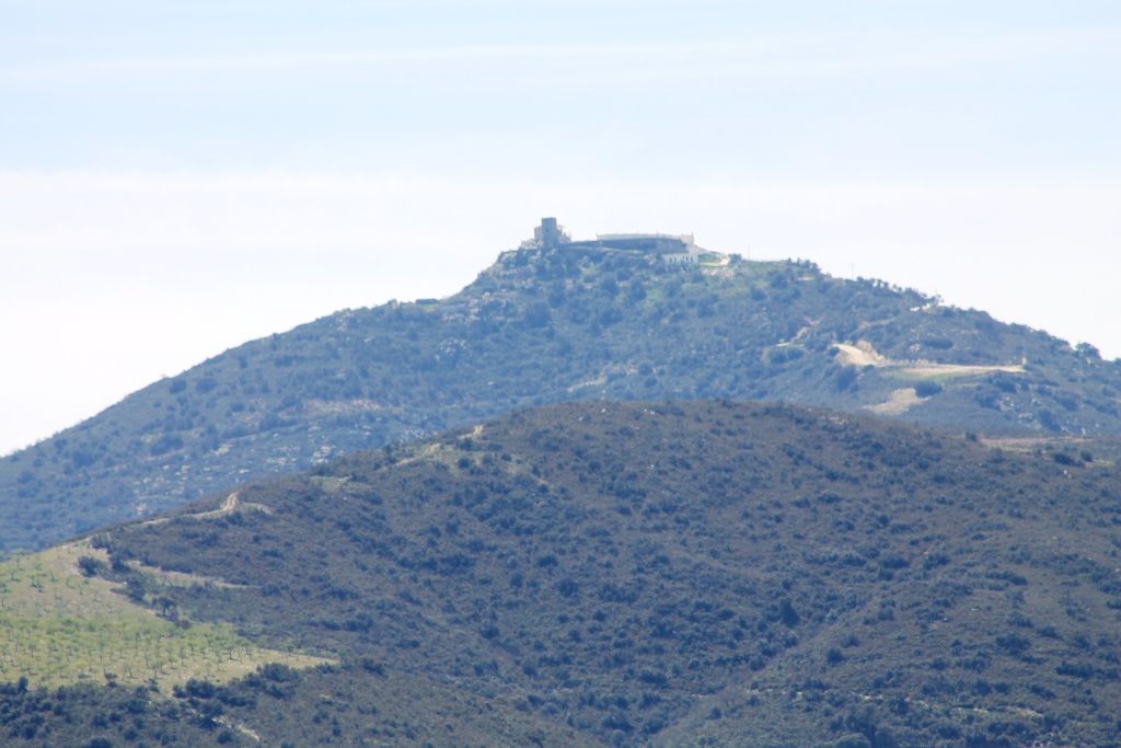
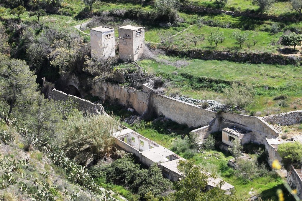
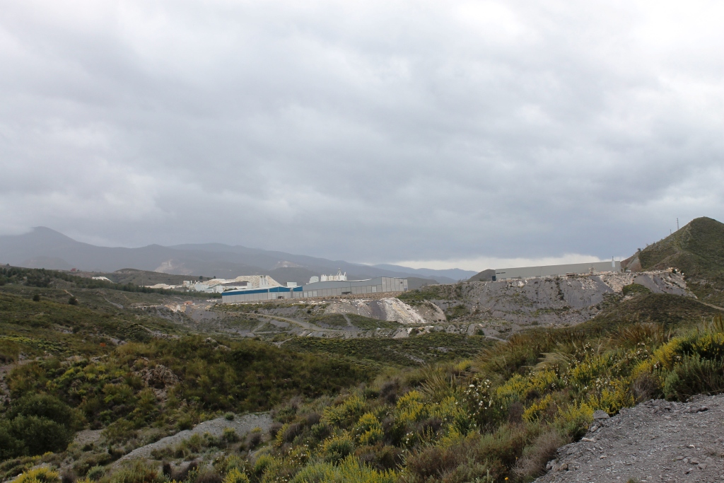
Today we set out to walk another route we found on the internet, this time driving through Albanchez to Cóbdar. We parked in the village and set off, it was quite difficult to make sense of the map and this stresses me, I really prefer tracks, that are clearly marked. Although we had a couple of false starts, the weather was perfect and we saw some birds and wild flowers. We climbed a track up to the communication masts, we could see into the valley and noted some derelict industrial buildings.

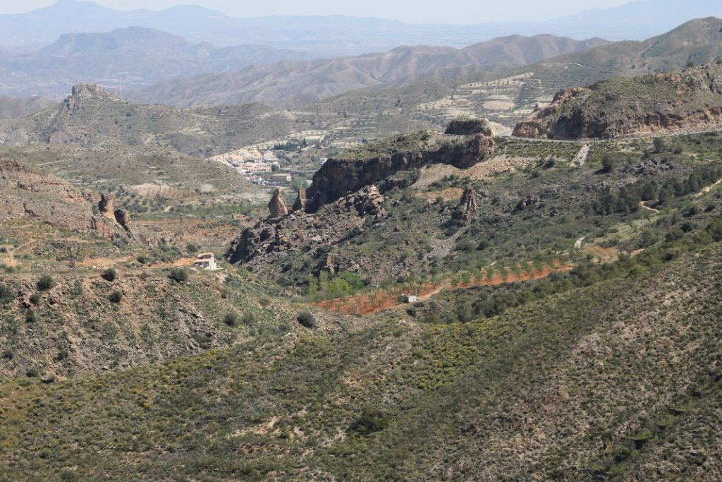
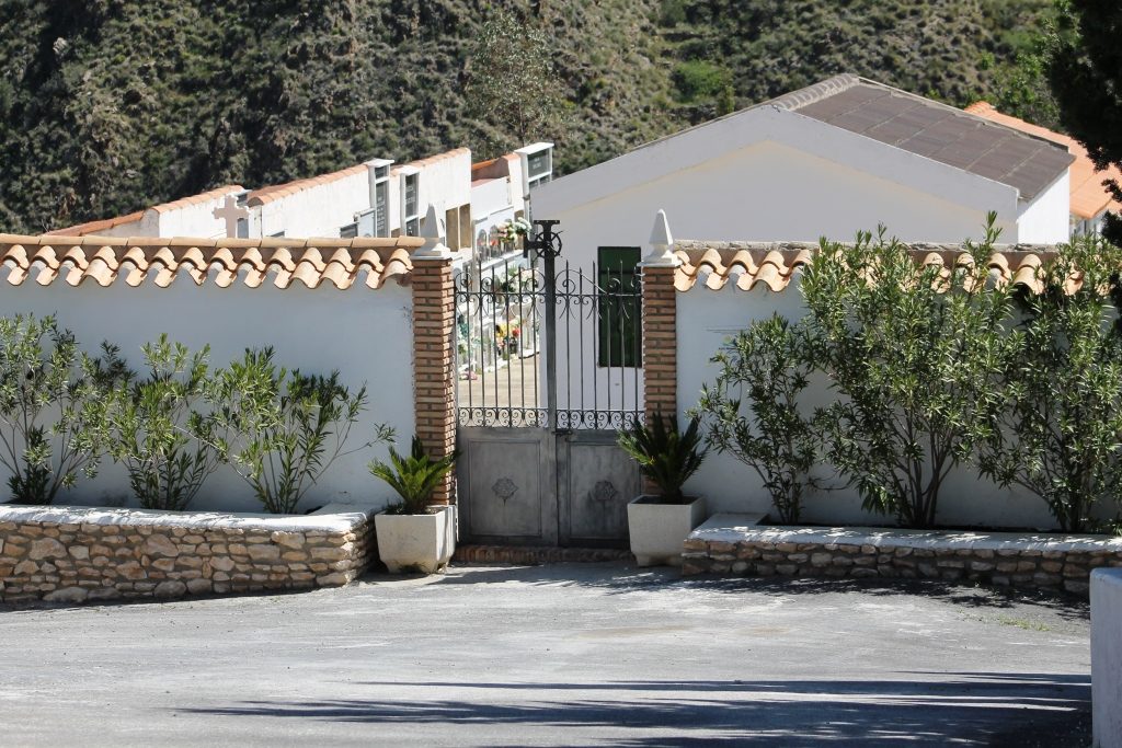
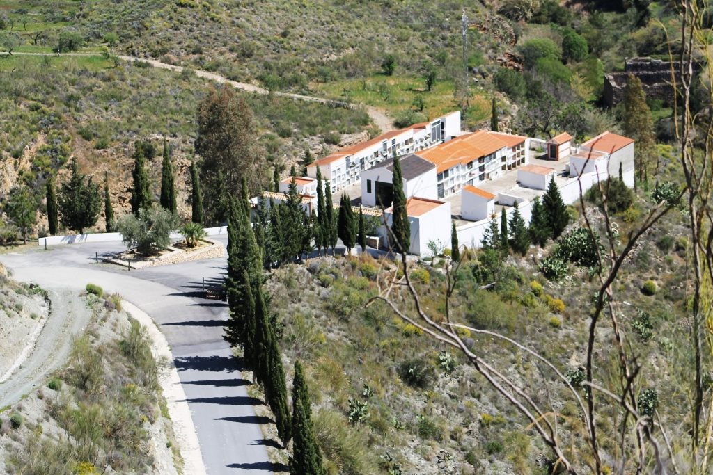
There were beautiful panoramic views. We sat outside the cemetery and enjoyed a sandwich.

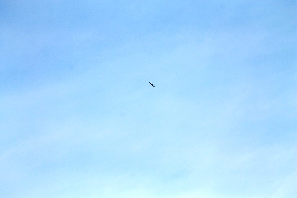
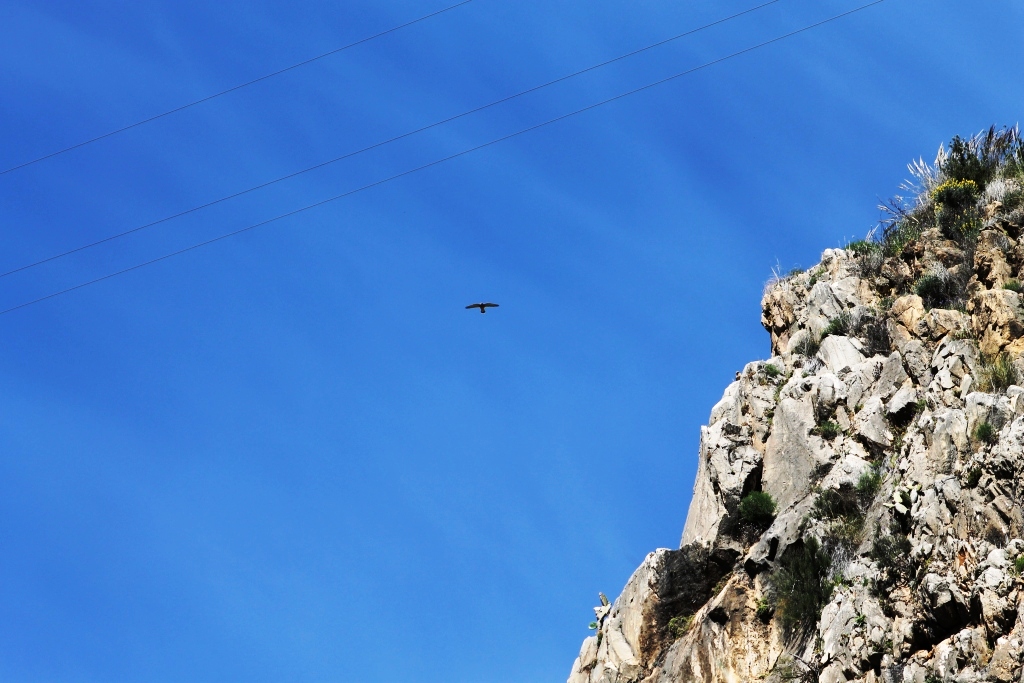
Although unsuccessful, in walking the sendero, we, including the dog had an enjoyable walk, managing to photograph an eagle, as we walked back to the car we noticed a track down into the river bed and we plan to have another go at the walk another time.

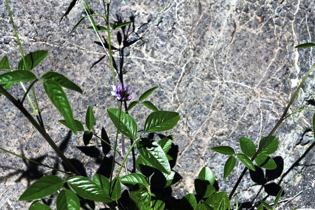
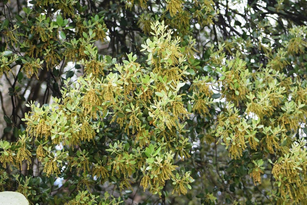
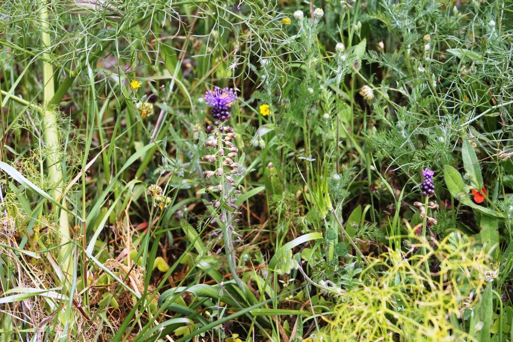
We decided to drive back the more scenic route and parked at Los Molinos, we remembered seeing golden orioles at Los Calesas, some years ago. We walked the track, we heard the unmistakable call of a corn bunting. We didn’t see any golden orioles, but the different flora and fauna was worth the walk. The trees were bursting into life. The wild flowers so pretty.

Sendero Fines

sendero1310313We found a walk (Sendero) on the internet of approximately 4 miles, in the area of Fines.
We marked the map and laminated it, a wise decision, it turned out.


We enjoy walking and we like to find suitable walks for when the family sendero2310313visit, we also needed to walk off the hot cross buns.


sendero3310313


We parked and set off, there looked quite a lot of activity in Fines,sendero4310313 with families getting together and as we walked towards the Rio Almanzora, we passed by the fuente, families were setting up barbecues and children were playing.


sendero5310313


As we walked along the river bed we found the turning between two hills, following the map along a gravelled track. It was raining, but we had cagoules on, the rain was sendero6310313mostly light and it wasn’t cold.


sendero7310313


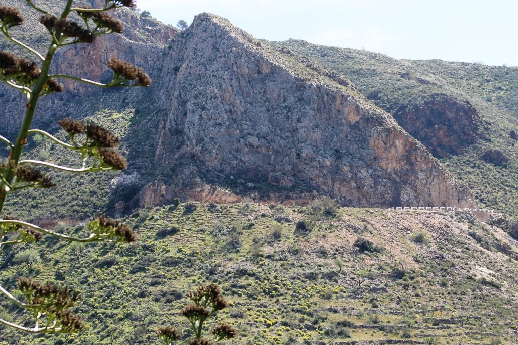
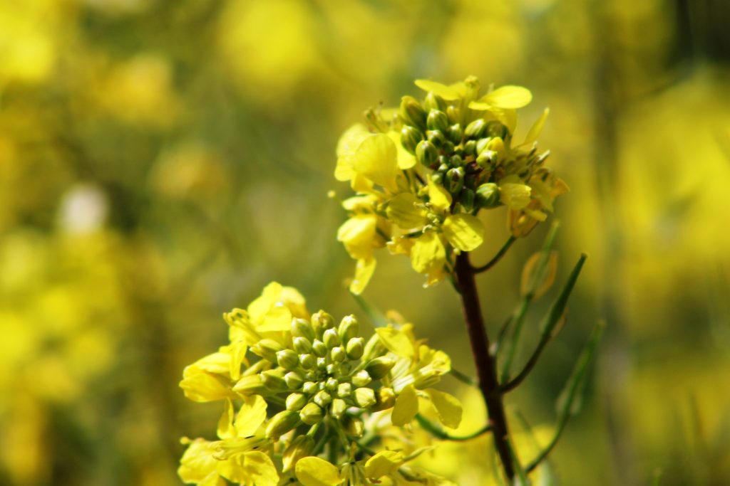
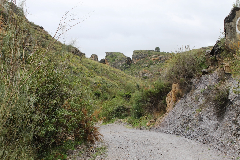
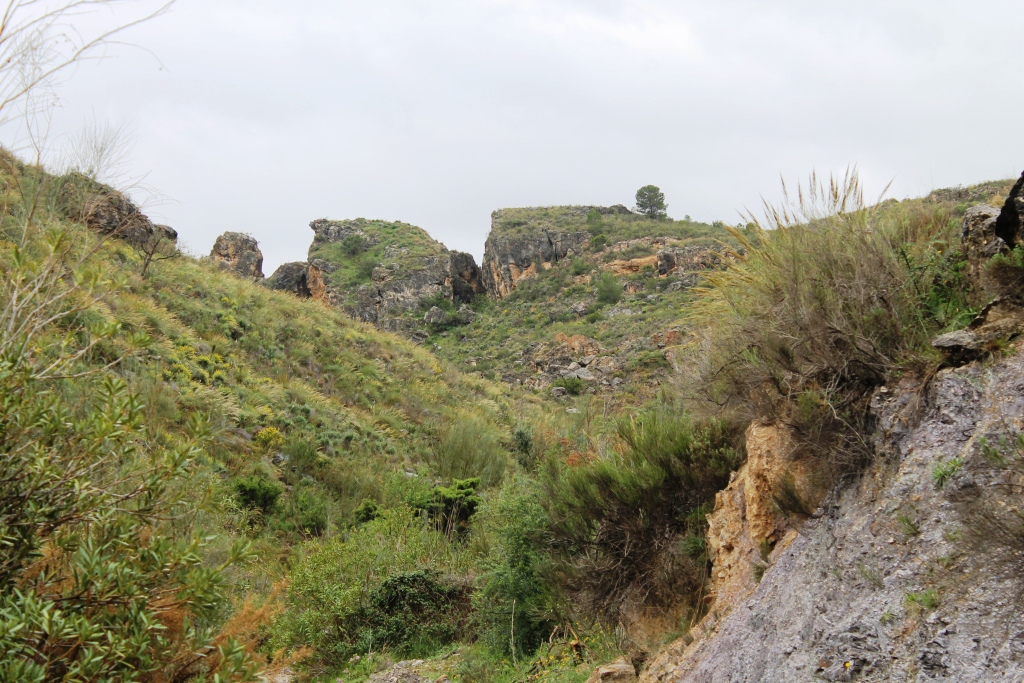
We strolled through a ravine, the water, over many years, having cut away the sides of the rambla, revealing wonderful strata and rock formation, the rain stopped enough, for us to get our cameras out and for our clothes to dry. The smell sendero8310313of the Mediterranean wild flowers and the damp earth was wonderful.


Sendero9310313The terrain opened up into rolling hills, the going so far, had been easy, but we started climbing.


We met no-one, we were able to recognise bird calls, from blackbirds, sendero10310313corn buntings, green woodpeckers to name a few.


sendero11310313The rain started again as we wended our way over the hill, we could then see the marble works of Macael, in the valley, Olula del Rio and the wind turbines at Hijate in the distance.


We tucked our cameras under our waterproofs and wearily plodded back down to the Rio Almanzora valley and the car.

We plotted and measured the route on Google Earth on our return, it was actually 5.6 miles which is 9kms.